Satellite-First Baseline Intelligence: Why Critical Infrastructure Monitoring Should Start in Orbit
Most infrastructure monitoring programs start with field sensors and work outward. But when you deploy instruments without first understanding where risk actually concentrates, you're building expensive coverage where threats aren't, and leaving gaps where they are.
The Structural Condition: Deploying Without a Baseline
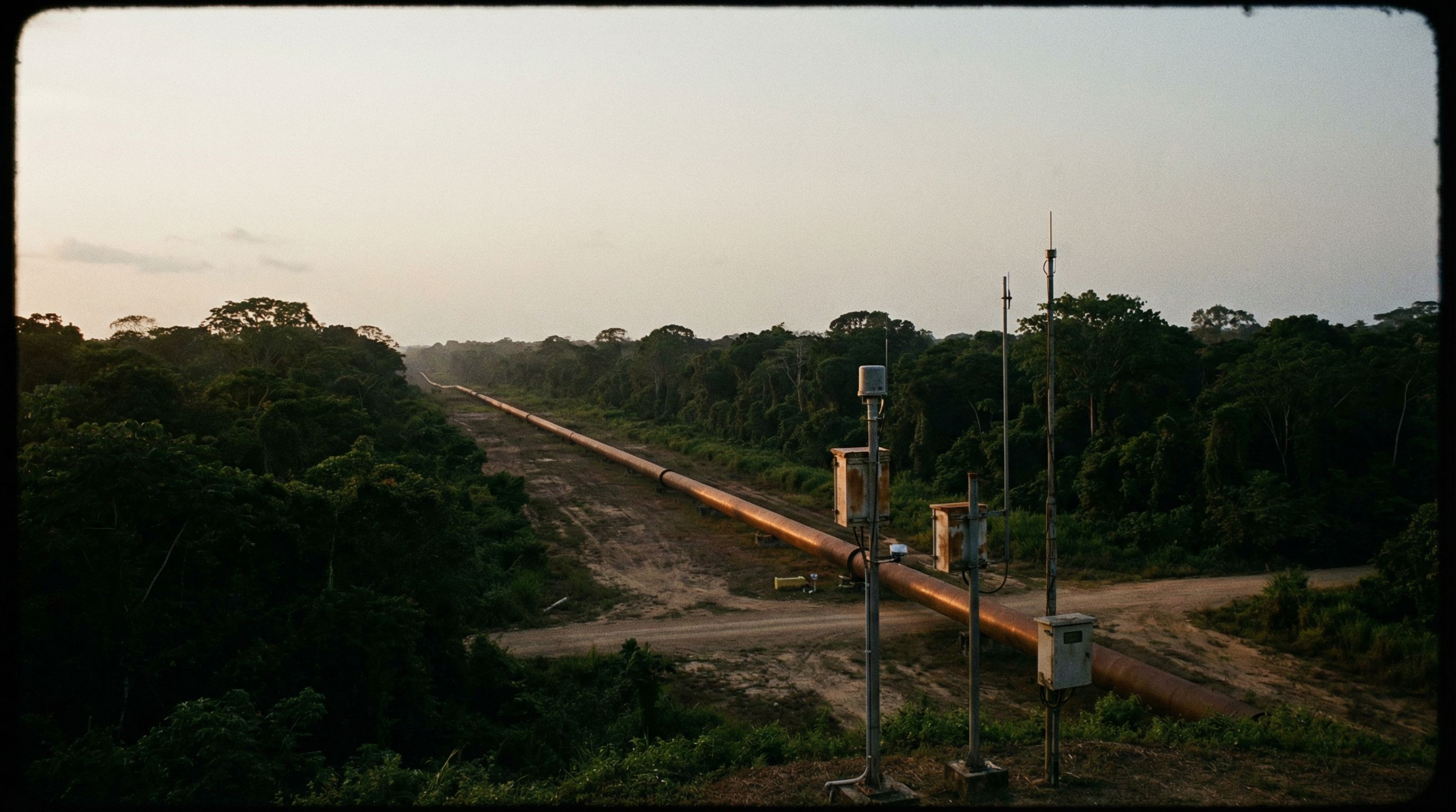
There’s a pattern in how critical infrastructure monitoring programs typically begin. An operator identifies a need (pipeline integrity, perimeter security, environmental compliance) and procures sensors. Pressure transmitters. Acoustic detectors. Fiber-optic distributed sensing. Vibration monitors. The deployment plan follows a straightforward logic: install instruments at regular intervals, achieve uniform coverage, and trust the data.
The problem isn’t the sensors. The sensors work. The problem is that uniform deployment treats every kilometer of pipeline, every segment of power grid, every stretch of coastline as equally likely to experience a threat. And that assumption is almost never true.
In pipeline operations, 80 percent of third-party interference (tapping, sabotage, accidental damage) concentrates at road crossings, populated areas, and known access points. In maritime surveillance, illegal activity clusters around specific transit corridors and anchorage zones. In environmental monitoring, habitat degradation follows predictable patterns tied to hydrology, land use, and seasonal cycles.
When you deploy sensors without first understanding where risk actually concentrates, you build expensive coverage where threats aren’t, and leave detection gaps where they are.
40–60%
Estimated CAPEX reduction when field sensor deployment follows empirical risk assessment rather than uniform-density installation across pipeline corridors.
The Inversion: Start Wide, Then Go Deep
Something is shifting in how infrastructure operators think about monitoring architecture. Instead of beginning with field instruments and trying to achieve wall-to-wall coverage, a growing number of organizations are inverting the sequence: start with wide-area observation from orbit, establish an empirical risk baseline, and then deploy field sensors only where the data says they’re needed.
This isn’t about replacing ground-based monitoring. It’s about knowing where to put it.
Synthetic aperture radar satellites now deliver sub-meter resolution imagery on bi-weekly revisit cycles, regardless of cloud cover or time of day. Optical earth observation platforms provide 30-to-50-centimeter resolution with spectral analysis capabilities, vegetation health, surface change, thermal signatures. Radio frequency geolocation satellites can map electromagnetic activity patterns across wide areas, identifying anomalous signal sources that correlate with human activity near infrastructure.
None of these capabilities are new individually. What’s changing is their accessibility and the analytical frameworks operators are building around them. When SAR coherence change detection, optical NDVI analysis, and RF activity mapping are correlated against each other and overlaid on infrastructure geometry, a risk picture emerges that no field sensor network could produce on its own.
The Baseline: Replacing Assumptions with Observation
The concept is straightforward: before committing capital to field instrumentation, spend three to six months building an orbital baseline that tells you what’s actually happening across your infrastructure footprint.
SAR interferometry reveals ground subsidence, structural displacement, and surface disturbance along corridors. InSAR coherence changes flag areas where the physical environment is shifting (construction activity, vegetation clearing, soil movement) before any field sensor would detect the consequence.
Optical analysis tracks vegetation health along rights-of-way. Anomalous NDVI signatures can indicate unauthorized clearing, chemical contamination, or drainage changes that alter the corrosion environment around buried infrastructure. Seasonal patterns establish what normal looks like, so that deviations stand out.
RF mapping identifies where electromagnetic activity concentrates near infrastructure. In remote corridors, unexpected RF signatures (particularly at night or in areas far from population centers) can correlate with unauthorized access or surveillance activity.
The output isn’t a satellite image. It’s a segment-level risk classification: which areas show indicators of active threat, which show environmental stress, which show stable conditions. That classification becomes the deployment map.
Progressive Densification: Capital Follows Risk
With an empirical baseline in hand, field instrumentation follows risk rather than distance. High-risk segments (where orbital observation shows active surface disturbance, abnormal vegetation signatures, concentrated RF activity, or proximity to access points) receive dense sensor networks. Medium-risk segments get targeted monitoring at known vulnerability points. Low-risk segments rely on continued orbital observation with periodic ground verification.
This approach (progressive densification informed by orbital baseline) changes the economics of infrastructure monitoring fundamentally. Instead of uniform sensor density across an entire corridor, capital concentrates where detection probability needs to be highest. The per-segment cost of monitoring goes up in areas that matter. The total program cost goes down because you’re not instrumenting stable terrain.
The operational benefit compounds over time. As field sensors generate data in high-risk segments, that data correlates with continued orbital observation to refine the risk model. Segments that were classified as medium risk may be upgraded or downgraded based on what the integrated picture reveals. The monitoring architecture becomes adaptive. It learns where to pay attention.
When satellite observation and field instrumentation share a common operational model, each makes the other more valuable. Orbital data tells field sensors where to focus. Field data tells orbital analysis what to look for. The intelligence compounds.
The Multimodal Correlation Layer
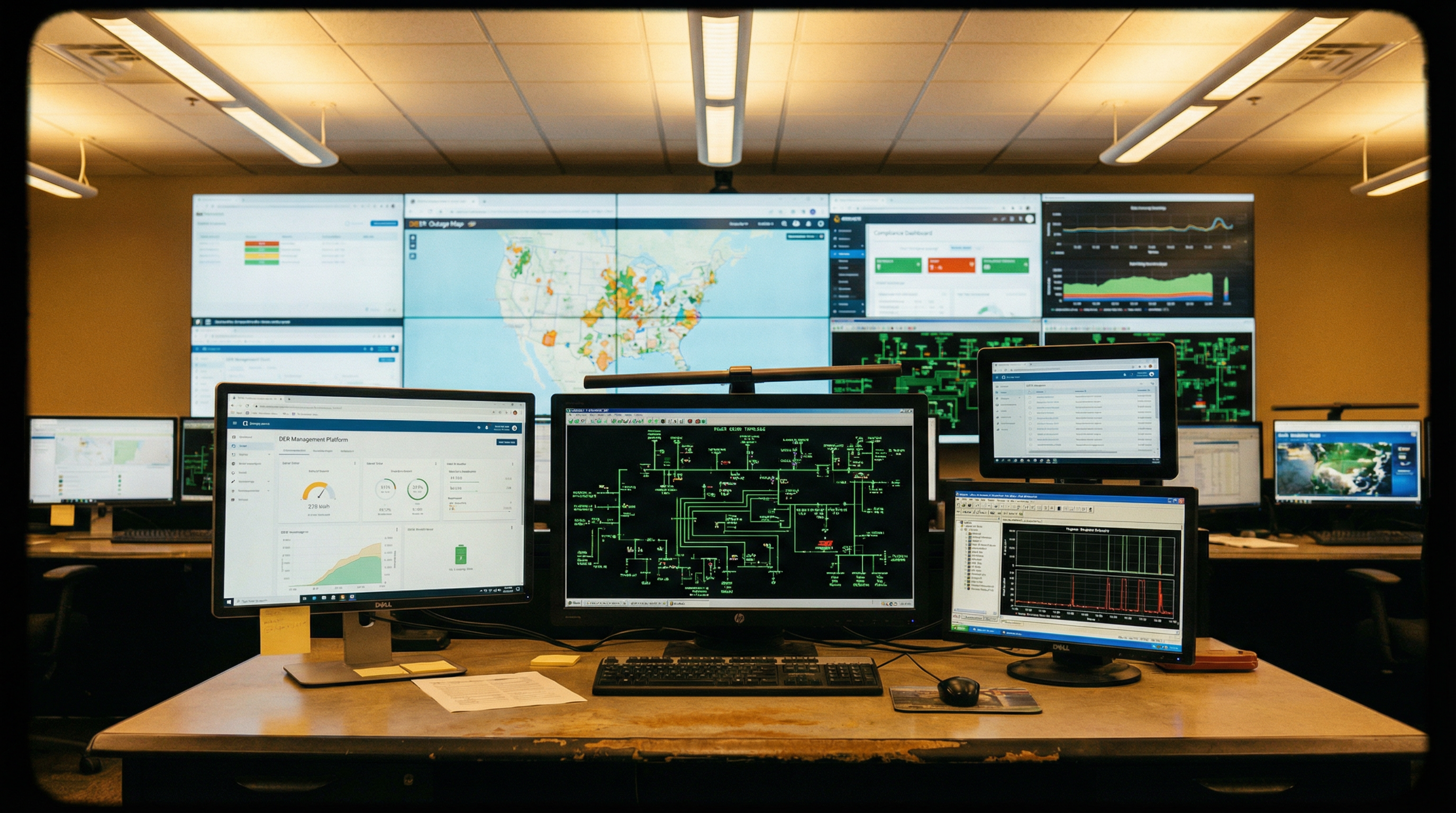
The satellite-first approach only works if orbital observation and field instrumentation feed into a shared intelligence model. This is where most monitoring programs still fall short, not because they lack data, but because each data stream operates in its own system, with its own analysis workflow, and its own reporting cadence.
A SAR detection of surface disturbance near a pipeline segment is valuable. A pressure anomaly in the same segment is valuable. An RF signature consistent with vehicle activity at a nearby access point is valuable. But when these three observations converge in a single operational model (correlated in time and space) they tell a story that no individual sensor could tell alone.
The structural challenge isn’t technical. The satellites work. The sensors work. The challenge is building an operational model where orbital observation, field telemetry, historical inspection data, and environmental factors all inform the same risk picture. Where a satellite detection doesn’t generate a separate report that gets emailed to a different team. Where it triggers an automatic correlation with real-time field data and presents the combined picture to the operator who needs to act.
The Broader Pattern: Intelligence Before Infrastructure
Pipeline monitoring is the most mature example of this shift, but the principle applies across critical infrastructure domains.
In maritime surveillance, organizations are learning that deploying coastal radar networks and vessel tracking systems without first establishing satellite-based maritime domain awareness leads to the same problem: expensive coverage in monitored zones, blind spots in the areas that actually need attention. Orbital observation of vessel behavior patterns (dark vessel detection, transponder manipulation, anomalous routing) establishes where surface surveillance needs to concentrate.
In environmental monitoring, protected area managers are discovering that deploying camera traps, acoustic sensors, and patrol teams without first mapping habitat change from orbit means their field resources cover areas that may not be the current priority. Satellite-derived deforestation alerts, water quality indicators, and land-use change maps direct limited field resources to the areas experiencing active pressure.
In urban infrastructure, municipalities investing in IoT sensor networks for water systems, transportation corridors, and public safety are beginning to ask whether wide-area observation (from aerial platforms, satellite imagery, or regional sensor networks) should inform where street-level instrumentation concentrates.
The pattern is consistent: intelligence should precede infrastructure. Observation should inform deployment. The risk picture should exist before the capital commitment.
What This Means for Operators
The practical implication is a sequencing change. Before the next field sensor procurement, before the next instrumentation contract, operators can ask: do we have an empirical baseline that tells us where risk actually concentrates?
If the answer is no, the first investment might not be sensors at all. It might be six months of orbital observation that produces the risk map your sensor deployment plan should follow. The satellites are already there. The analytical frameworks exist. The cost of an orbital baseline is a fraction of a single field sensor deployment campaign, and it fundamentally changes where every subsequent dollar goes.
The infrastructure operators who adopt this sequence (observe first, then instrument) won’t just save on deployment costs. They’ll build monitoring architectures that are empirically grounded, adaptive over time, and capable of detecting threats in the places they actually occur.
That’s the shift: from monitoring everywhere equally to understanding where to look, and looking there first.