Between the Instruments
Protected seas, long pipelines, and rural networks are monitored by instruments placed far apart. When the instruments and the territory between them don't share a common model of expected behavior, the space between becomes the part nobody can speak about.

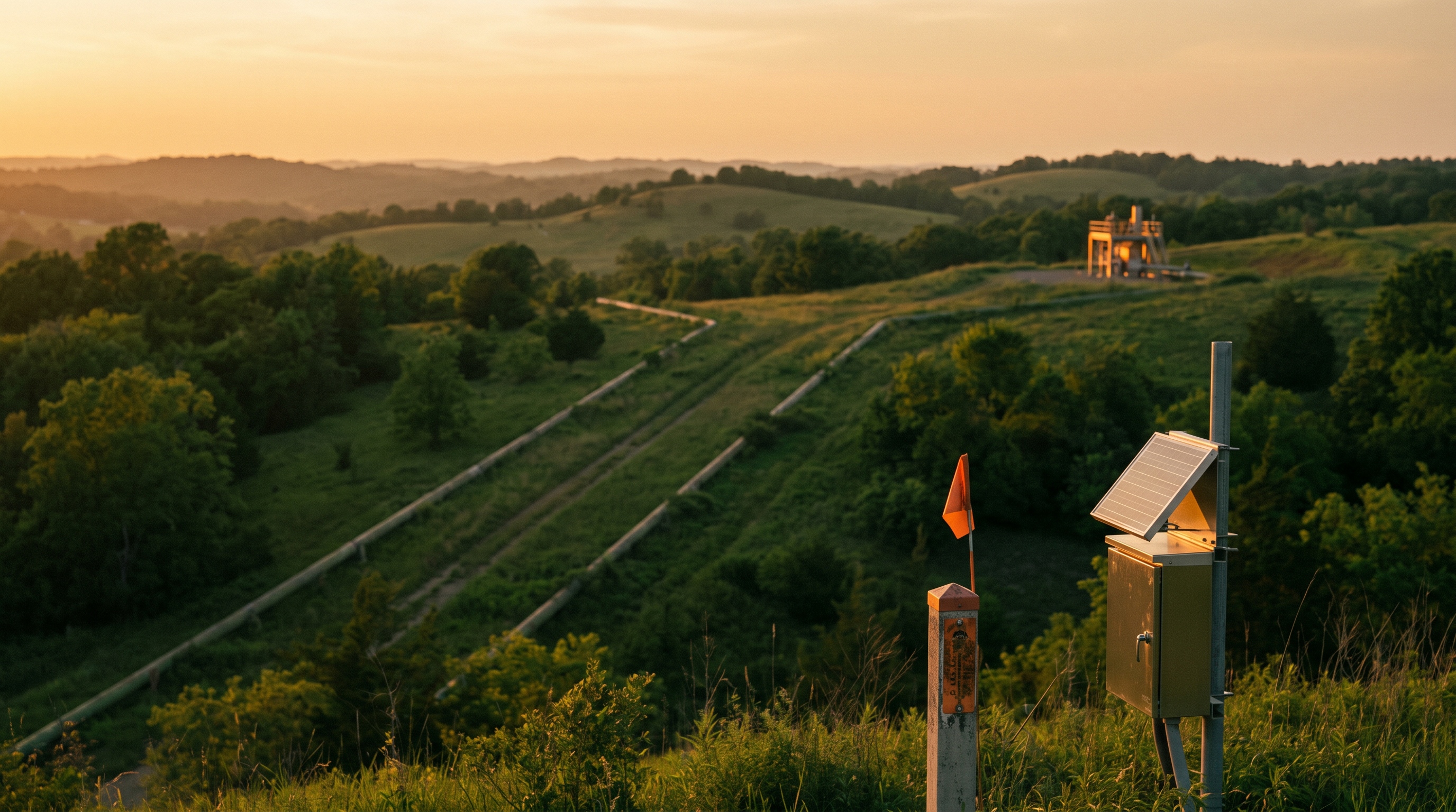
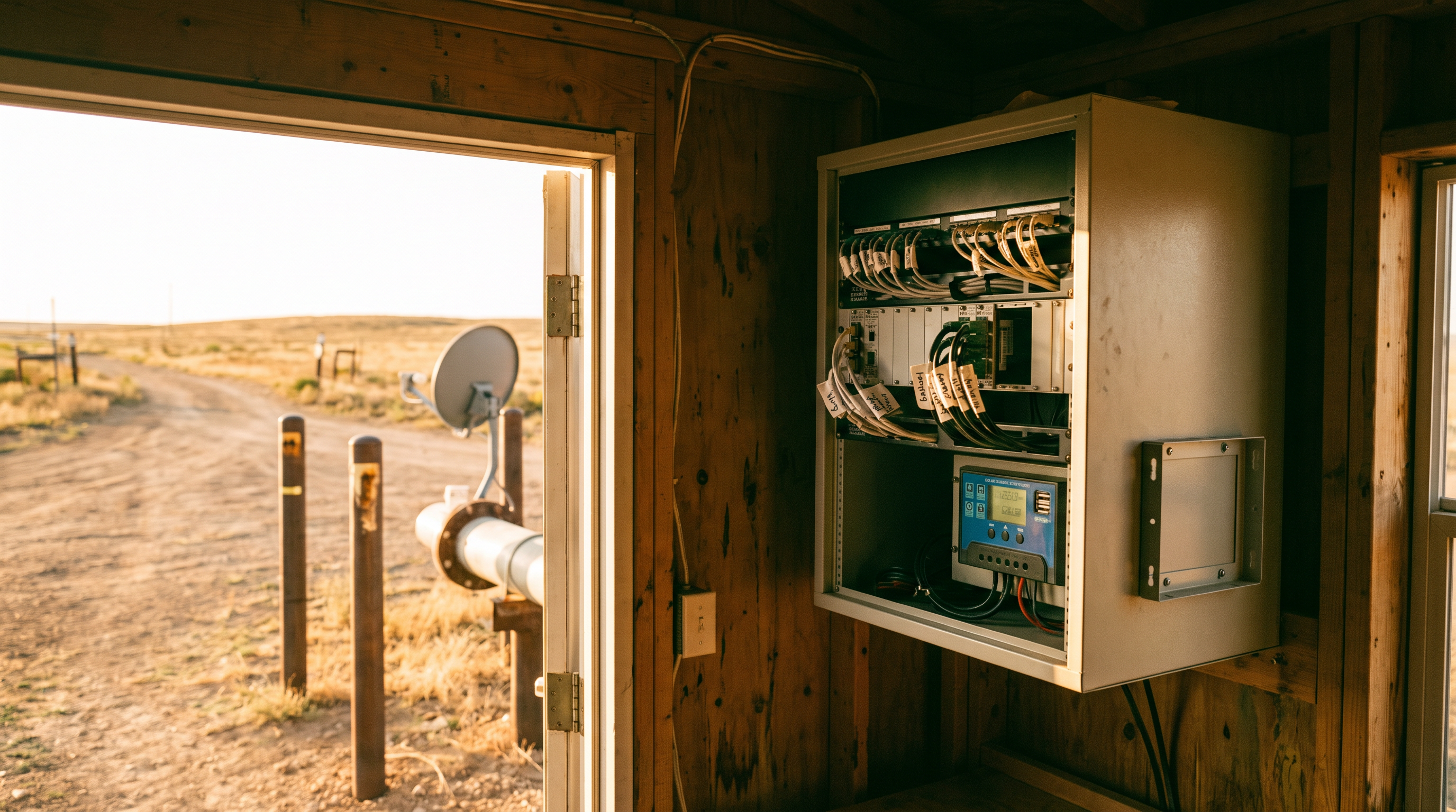
A marine reserve the size of a small country is watched by a handful of receiving stations. A product pipeline crossing several provinces is watched by acquisition units placed every few dozen kilometers. A rural distribution network is watched by meters at the substation and meters at the customer, with a long stretch of wire in between. In each case the instruments are good and the placement is sensible. The cost of covering every meter of territory is simply out of reach.
So the operator works with sparse sensing, and the question that matters is what to say about the places no instrument can see.
Coverage is a budget, and the territory is larger than the budget
Sparse sensing is the normal condition for large infrastructure and large protected areas. Staffing has not grown at the pace of territory. Reserve boundaries expand, pipelines extend, service areas widen. The monitoring budget tends to hold steady while the area under watch increases.
Operators respond by placing instruments where the risk is concentrated and accepting reduced visibility elsewhere. That is a sound allocation. The difficulty appears in how the unobserved space gets treated afterward. In most monitoring systems, an area with no instrument produces no data, and an area with no data produces no events. The control room screen looks calm there, and the calm is read as safety.
Calm and blindness look identical on a dashboard. An operator who knows the instrument spacing understands the difference. A new analyst, a visiting board member, or an automated rule does not.
What the instruments can tell you about the space around them
A sparse network still carries more information than its raw readings. Each instrument reports on its own location, and it also sits inside a context that constrains what is likely nearby.
A pressure reading at one station and another reading forty kilometers downstream describe a section of line. If the pattern between them changes in a way that physics does not explain, something happened in the section, even though nothing measured it directly. A vessel that was last seen heading toward a reserve boundary and is seen again two days later on the other side has a track that can be bounded, even if the middle was dark. A feeder whose delivered energy and billed energy drift apart over a season describes a segment where something has changed, without a meter in the segment to say what.
None of these inferences replaces a sensor. They convert absence of data into a bounded question: something unobserved happened in this stretch during this window, and here are the independent records that could narrow it.
The register of expectation
The practical step is to give every unobserved area an expected behavior and to keep that expectation in the same model as the observations.
For a pipeline section, the expectation is the normal relationship between upstream and downstream readings, adjusted for flow, temperature, and scheduled operations. For a marine zone, it is the set of vessels that are registered, scheduled, and permitted to be there, compared against what satellites and radio receivers report. For a distribution feeder, it is the load profile that the connected customers should produce.
When expectation and observation live in one model, a gap becomes legible. The system can show that a section has gone twelve days without a confirming observation and that its neighbors have shifted in the meantime. It can list the registered activity that should have been present, the activity that was detected, and the difference. The operator sees a question with edges around it.
This is different from adding sensors. More instruments help where the risk justifies them. The expectation model helps everywhere, including the places where instruments will never be installed.
Independent sources earn their keep in the gaps
Where a single source goes quiet, a second independent source can narrow the question. Satellite imagery revisits a protected shoreline on a schedule that no ground patrol can match. Radio-frequency detection finds vessels that have stopped reporting their position. Commercial data on shipping, weather, and permit activity adds context. Records from billing, maintenance, and field crews describe the human activity that physical sensors cannot.
Each source has its own coverage pattern and its own blind spots. Their value rises sharply when they are held together against the same asset and the same time window, because the weak points rarely coincide. A vessel that turns off its transponder is still a vessel, and an unmetered section of line still has a maintenance history. The combined record is richer than any one stream.
A proportionate response to uncertainty
Sparse sensing also asks operators to treat uncertainty with proportion. An unexplained gap does not justify a full response, and it should not be ignored either. The usual approach is graded: low-confidence anomalies go into a watch list with a defined review date, moderate ones prompt a targeted check using the nearest available source, and high-confidence ones reach a person with authority to dispatch.
Governed autonomous action fits well here. Routine checks, such as pulling the next satellite pass for a flagged zone or comparing a feeder’s recent profile against its history, can be carried out automatically, with each step recorded and each recommendation reviewed by an accountable person before field resources move. The operator’s scarce patrol hours go to places where the combined evidence has narrowed the question.
Naming the structural condition
The condition worth naming is that sparse instruments and the territory they serve are usually described in separate documents. One lists the assets. The other describes the geography and the risks. When the two don’t share a common model, operators carry the connection in their heads, and it leaves with them.
An intelligence utility holds that connection as shared information. The instruments, the spaces between them, the expected behavior of each, and the independent sources that can speak to the gaps sit in one real-time operational model. The result gives an operator something that sparse sensing alone cannot: a considered statement about what is known, what is inferred, and what remains open, for every part of the territory.