The Detection Came From Orbit. The Decision Still Happens on the Ground.
Satellites used to send pictures down and let the ground figure out what they meant. A new generation of them tasks, collects, and computes in orbit, and sends down detections instead — a vessel here, a clearing there, a change worth looking at. That shift moves real work off the ground. It also quietly changes what the ground job is, from looking at imagery to deciding what an orbital claim means for an operation that has to act on it.
What the satellite sends down is changing
For decades the deal with an earth-observation satellite was simple. It flew over, it collected, it downlinked a large amount of raw imagery, and everything that mattered happened on the ground. Analysts pulled scenes, compared them to last month, drew boxes around what changed, and turned pixels into something a person could act on. The satellite saw. The ground understood.
That deal is being renegotiated in orbit. A new generation of satellites carries enough onboard compute to task themselves, process what they collect, and run detection models before anything reaches a downlink. Instead of sending a scene and waiting for a human to find the vessel, they send the vessel. Instead of streaming a forest and letting an analyst spot the clearing, they send the clearing. The expensive, slow steps — move the data, store the data, search the data — increasingly happen above the atmosphere, and what comes down is smaller, faster, and already partly interpreted.
For anyone who monitors land or water from space, this is good news on its face. Less raw data to move, less latency between event and alert, more of the heavy lifting done before the ground team even logs in. But it carries an assumption that deserves to be examined, because a lot of monitoring operations are about to inherit it without noticing. The assumption is that a detection from orbit is an answer. It is not. It is a very well-traveled question.
An orbital detection is a claim about a place
When a satellite reports a clearing in a protected forest, or a vessel inside a no-take zone, or a hot spot along a pipeline corridor, it has made a claim about a place at a time. The claim is valuable. It is also incomplete in exactly the ways that determine whether anyone can act on it.
Is that clearing a new illegal cut, or the same authorized firebreak the system flagged last season? Is that vessel a violator, or a licensed operator whose permit the monitoring system has no way to see? Is the change along the corridor a real disturbance, or the seasonal shift in vegetation that fools every detector that compares how images look rather than what they mean? The satellite cannot know, because the answer does not live in orbit. It lives in the permits, the prior incidents, the maps of what is allowed where, the history of this exact location, and the rules that say which changes matter and which are noise. The detection is a claim about the world. Turning it into a decision requires the part of the world the satellite never sees.
So the work does not disappear when the computation moves to orbit. It moves. The ground team stops spending its hours finding the change and starts spending them deciding what the change means and whether to act. That is a better use of scarce human attention, but only if the ground is built to receive a detection as the start of a case rather than the end of one.
The new ground job is integration, not interpretation
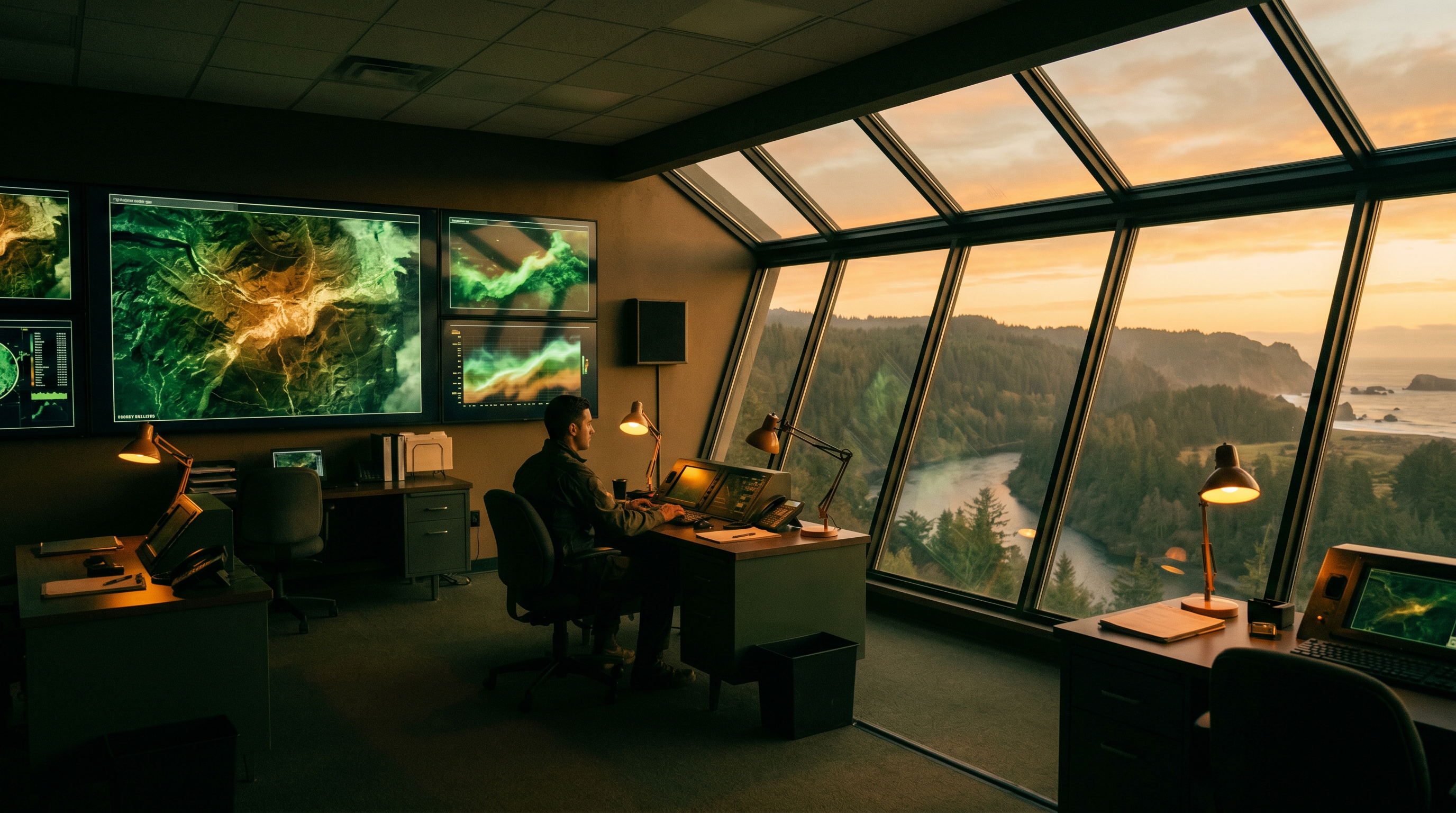
Here is the shift most monitoring operations have not yet made on purpose. When the satellite downlinked raw imagery, the ground job was interpretation — look at the scene, decide what changed. When the satellite downlinks detections, the ground job becomes integration — take an orbital claim, place it against everything else known about that place, and produce a decision someone will own.
Those are different muscles. Interpretation is a person and a screen. Integration is a model of the operation: the protected-area boundaries, the permit registry, the patrol history, the prior false alarms, the rules of engagement that say a clearing over a certain size in a certain zone gets a ranger dispatched and a smaller one gets logged and watched. A detection that lands in that model becomes actionable, because it arrives already joined to the context that tells a person what to do. A detection that lands in an inbox becomes one more alert in a queue that no one has time to adjudicate.
This is why adding a smarter satellite to a monitoring program does not automatically make the program smarter. The orbital detection raises the quality and speed of the signal. Whether that signal becomes faster enforcement, earlier intervention, or better stewardship depends entirely on what it lands in. A program that bought the constellation but never built the ground model has more alerts and the same backlog. The bottleneck moved from collection to adjudication, and the constellation does not solve adjudication.
A detection has to become evidence to matter
There is a second reason the ground model matters, and it is the one that shows up after the action rather than before it. In most of the domains where orbital monitoring is worth paying for, a detection is the beginning of something with consequences. A protected-area incursion may lead to an enforcement action. A pipeline disturbance may lead to a regulatory filing. A vessel violation may lead to a fine or a seizure. An environmental change may anchor a parametric insurance payout. In every one of those, the detection has to survive scrutiny from someone whose job is to contest it.
That survival is not a property of the satellite. It is a property of the chain. A defensible finding ties the detection back to the image it came from, the date and conditions it was collected under, the model that produced it, the rule that classified it as significant, and the person who decided to act. When that chain is intact and signed end to end, an orbital detection can stand as evidence in front of a regulator, a court, or an auditor. When it is a screenshot of an alert with a confidence score, it is a starting point and nothing more, no matter how good the underlying detection was.
The orbital edge makes this both more important and more achievable. More important, because detections now arrive faster and in greater volume than any team can manually document after the fact. More achievable, because a detection that comes down already carrying its provenance — what was seen, when, by which instrument and model — gives the ground model the raw material to build a defensible record automatically, instead of reconstructing it by hand once a dispute is already underway.
The question worth asking before the constellation arrives
The pitch for orbital intelligence is easy to love. Faster detections, less data to wrangle, computation handled in space. All of it is real, and the direction is not going to reverse. But the value a monitoring operation actually captures from it is decided on the ground, in a layer that the satellite brochure does not mention.
So the question to ask before signing up for the constellation is not how good the detections are. It is what they will land in. When a detection comes down from orbit, can the operation place it against what it already knows about that place, decide what to do with the rules its own team set, and produce a record that holds up when someone contests it? If the answer is a faster feed into the same crowded inbox, the operation has bought a better eye and left the judgment where it always was — overloaded, manual, and hard to defend. The computation moved to orbit. The decision did not. It is still on the ground, and the ground is still where the work of making it defensible has to be built.