From How It Looks to What It Means: The Quiet Shift in Satellite Monitoring
Teams that monitor land from space are buried in change alerts that are not really changes. A field looks different this week because the sun is lower, the soil is wetter, or a cloud moved. The monitoring system was built to compare how two images look, and almost everything makes two images look different. The shift now underway is from comparing appearance to comparing meaning — and it changes which alerts deserve a human's attention.
The alert that was just the weather
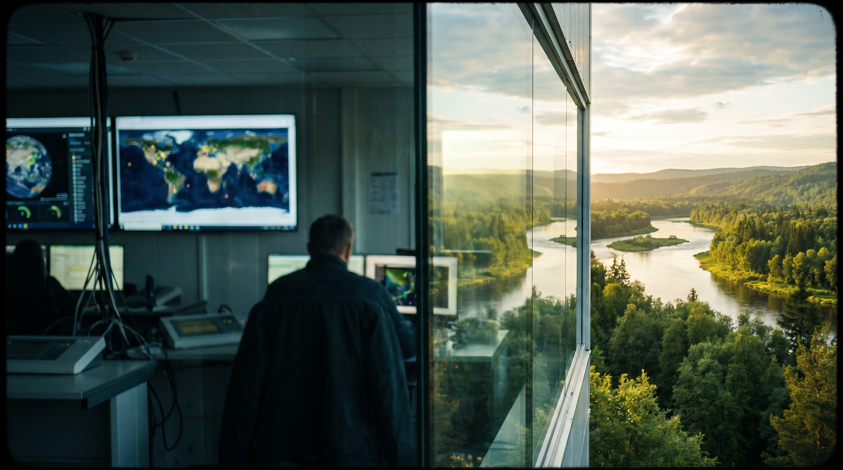
A protected-area team gets a change alert on a stretch of forest. Someone drives out, or tasks a patrol, or burns an analyst’s afternoon confirming it. The forest is fine. The image looked different because it was captured at a lower sun angle, after rain, with a thinner haze than the week before. Nothing changed on the ground. Everything changed in the pixels.
This happens constantly, across every operation that watches the land from orbit. A pipeline right-of-way flags an incursion that turns out to be seasonal vegetation. A reservoir boundary trips an alarm that is really a shift in water color after a storm. A coastline “moves” because the tide and the light moved. The team learns, correctly, that most alerts are noise. And then the one alert that mattered arrives in the same inbox, wearing the same color, and gets the same tired second glance.
The cost is not only the wasted trips. It is the erosion of trust in the signal. When a monitoring system cries wolf four times out of five, the operators stop running toward it. The structural failure is not that the satellites are wrong. The imagery is excellent and getting better every year. The failure is in what the monitoring layer was built to compare.
The system compares radiometry, and the world is full of radiometry
Most change detection still works the way it has for decades. Take two images of the same place, captured at different times, and look for where the pixels differ. Subtract one from the other, or run a more sophisticated version of the same idea, and flag the places that moved.
The trouble is that a pixel’s value is a measurement of light. It encodes the actual ground, yes, but it also encodes the season, the sun angle, the soil moisture, the atmosphere, and the quirks of whichever sensor happened to pass over. All of those move the pixels. So all of them trigger change. The system is doing exactly what it was designed to do — comparing how two images look — and almost everything makes two images look different even when nothing on the ground has changed.
This is why so much of a monitoring team’s effort goes into suppressing false alarms rather than acting on real ones. Every threshold that gets tuned to cut the seasonal noise also risks cutting a real, subtle change. The team is forced to choose between an inbox full of weather and the quiet fear that the filter that hides the weather is also hiding the thing they are paid to catch.
The shift: from matching appearance to matching meaning
There is a change underway in how this problem is approached, and it is worth understanding even if the technical details stay with the specialists. The arc, in one line, is from matching how images look to matching what they mean.
Instead of comparing the raw light values of two images, the newer approach passes each image through a model that has learned to represent what is actually present — forest, water, bare soil, built structure — as a compact description of meaning rather than appearance. Two of those descriptions are then compared. Because the model was trained to capture what a place is, not how the light fell on it that day, the season and the sun angle and the haze move the description very little. The sources of false alarm that plagued the old method largely stop firing. A forest that is still a forest reads as unchanged, even when it photographs differently. A forest that became a clearing reads as changed, because its meaning changed.
The same shift opens a second capability that matters for operations. Because the comparison now runs on meaning, an operator can ask for a specific kind of change in plain language — show me new structures, show me cleared vegetation, show me new water — rather than training a separate detector for each one. And the system can describe what it found in words a non-specialist can act on, instead of handing back a map that still needs an analyst to interpret. The monitoring layer starts to speak the language of the person who has to make the call.
Why this is an operational change, not just a technical one
It would be easy to file this under “the models got better” and move on. That misses what actually changes for the operation.
When the monitoring layer compares meaning instead of appearance, the alert that reaches a human carries a different weight. It is far more likely to be a real change, because the seasonal and atmospheric noise has been stripped out upstream rather than tuned away with a blunt threshold. The team can run toward the signal again, because the signal has earned it. The scarce resource in any monitoring operation is human attention, and the entire point of the shift is to spend that attention on changes that are real.
But a cleaner alert is only half of what an operation needs. The other half is defensibility. A protected-area enforcement action, a pipeline integrity finding, a regulatory submission — each of these has to survive scrutiny. “The system flagged it” is not an answer when someone asks how you know, especially when the system is a model whose reasoning is not self-evident.
This is where the monitoring layer has to connect to something more durable than the detection itself. A flagged change is the beginning of a case, not the end of one. It needs to be tied to the specific images it came from, the date it was observed, the conditions at the time, and the chain of reasoning that turned a difference in two pictures into an asserted fact about the world. When that structure exists, a change alert becomes evidence — traceable, dated, and defensible to whoever asks. When it does not, the operation has simply traded a noisy detector for a quieter one, and is no better able to defend the actions it takes.
The teams that get the most from this shift treat the better detection and the durable record as one capability, not two. The detection tells them what deserves attention. The record lets them act on it without having to reconstruct, weeks later, why they did.
What to ask of a monitoring layer now
The useful question for any team that watches the land from space is no longer “how many sensors do we have” or even “how good is the imagery.” Both of those have largely been solved. The imagery is abundant and the revisit rates are high.
The questions that separate a monitoring operation that works from one that drowns are different. When an alert reaches a person, how confident can they be that it is a real change rather than the weather? Can they ask for the kind of change they care about in their own words, or do they have to commission a new model each time the question shifts? And when they act on a change, can they trace it back to the evidence and the reasoning that justified it, or only to the fact that a system once lit up?
The shift from comparing how the world looks to comparing what it means is what makes the first two answers possible. Tying that comparison to a durable, traceable record is what makes the third one hold. An operation that has all three spends its attention where it counts and can defend every action it takes. That is what operational visibility from space was supposed to mean all along.